ADMIRALTY Standard Nautical Charts (SNCs)
ADMIRALTY Standard Nautical Charts (SNCs) are the world’s most trusted and widely used official paper charts. The range includes comprehensive paper coverage of commercial shipping routes, ports and harbours to help bridge crews safely navigate in accordance with SOLAS regulations.
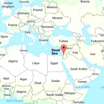
Our Company has divided the World Map in 30 distinguished folios for easy guidance. This can be used in case you require us to monitor specific Voyage Areas of your fleet.


